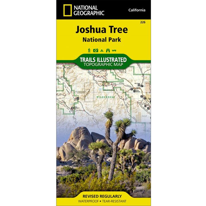
Joshua Tree National Park is a fascinating land of surreal geologic features shaped by strong winds, unpredictable torrents of rain, and climatic extremes.
The map includes the Park in its entirety, the Little San Bernardino Mountains, Nexie Mountains, Lost Horse Valley, Quail Springs Historic Trail, Black Rock Canyon, Hidden Valley, Pinto Basin, Chuckwalla Valley, Cottonwood Mountains, Pinto Mountains, Cottonwood Spring Nature Trail, and more. The trails on this map have been enhanced and mileage has been added. Includes UTM grids for use with your GPS unit.
- Approximately 4" x 7 1/2" folded; 22" x 32" fully opened
- Waterproof, tear-resistant
- Scale = 1:80,000
- Map revised - 2005
More than just a map, National Geographic Trails Illustrated topographic maps are designed to take you into the wilderness and back. Printed on tear-resistant, waterproof material, this map can go anywhere you do. Each map is based on exact reproductions of USGS topographic map information, updated, customized, and enhanced to meet the unique features of each area. The maps include valuable wilderness tips and Leave No Trace guidelines, along with updated trails, trailheads, points of interest, campgrounds, and much more. With a new color palette and stunning shaded relief, backcountry navigation has never been easier.