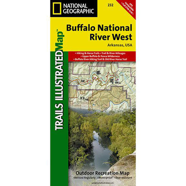
The Buffalo National River, in north-central Arkansas, is one of the few remaining rivers in the lower 48 states without dams. This map includes sections of the river from the Upper Buffalo Wilderness and the Ozark National Forest, through Boxley Valley to the Little Buffalo River and on to Woolum. Along the way are: many hiking trails; Lost Valley; Villines Farmstead; Steel Creek; Henderson House; Kyles Landing; Erbie; Cedar Grove; Ozark; Pruitt; Carver. Includes UTM grids for use with your GPS.
- Approximately 4 1/4" x 9 1/4" folded; 25 1/2" x 37 3/4" fully opened
- Scale = 1:31,000
- Map revised - 1999